 |
 |
Bill Brodhead WPB Enterprises Inc
Radon & Vapor Intrusion |
 |
|
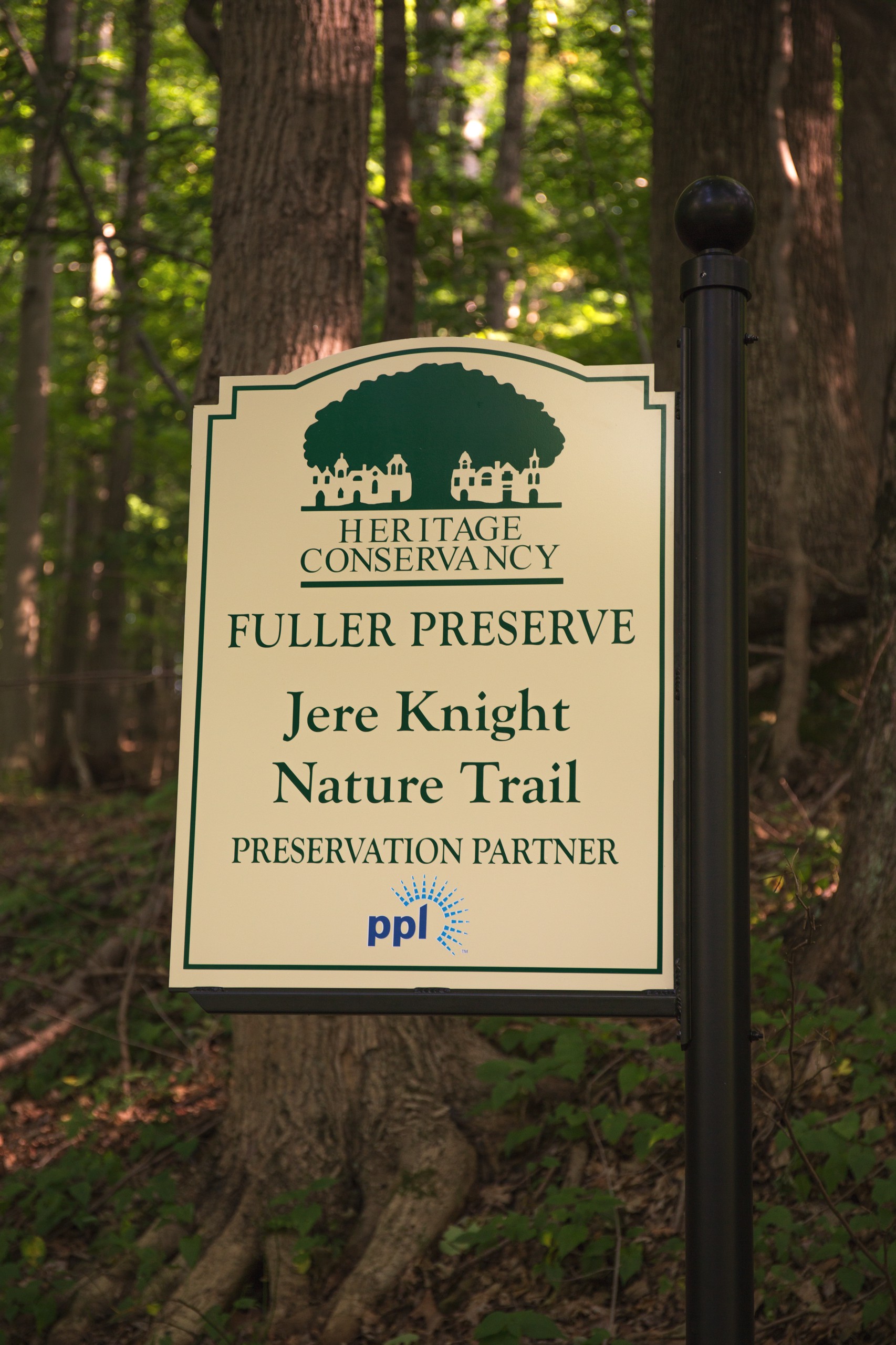
Jere Knight Trail
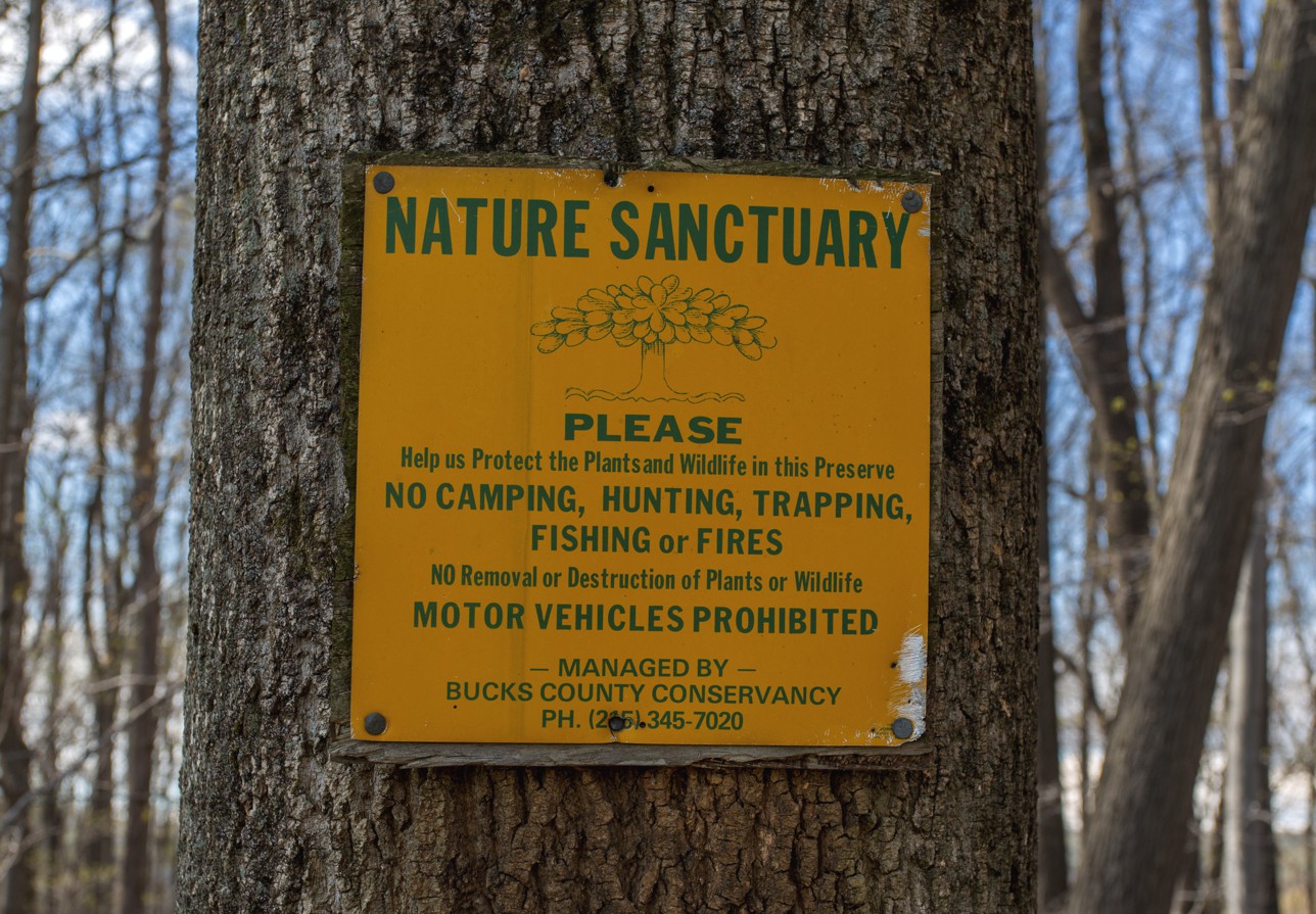
The Fuller Preserve happened in 1993 when our neighbors Peter & Joan Fuller donated 64 acres to Heritage Conservancy. You can visit Heritage Conservancy website to learn more about all of their great work to preserve land in Bucks County or see a map of conserved land that is part of our
Peter & Joan created the Jere Knight hiking trail back in 1981 to be used as part of a Cooks Creek Nature Center. The trail was dedicated to Jere Knight because Jere was a key person who helped get Cooks Creek protected as well as championing numerous other environmental issues. She edited the original Lassie book that her husband, Eric Knight, wrote in 1940 as well as authoring several other works. The trail has been recently re-opened and expanded into a 1.8 mile loop that wonders through the woods, passes besides a Cooks Creek tributary stream and climbs up past a lovely gorge and then to an overlook of a large neighbors field, through some old growth forest then across to an overlook of a farm on Slifer Valley Road and then through the woods back to the start of the trail head. Presently there are orange ribbons marking the trail. The trail wanders through the woods and you will likely see deer, an occasional fox, lots of different birds, a red tail hawk overhead scouring the fields for some diner and incredible assortment of trees, ferns and plants. In the center of the trail is a Chestnut Tree orchard that is being used to develop blight resistant chestnut trees. Article about Chestnut Trees The total hike takes less than an hour at a leisurely pace. As you climb up the hill the trail heads off to the left. As you follow the stream bed take the 1st fork to the left to go under a fallen tree and down to the stream. Continue along the stream and the trail heads back up to the main trail loop. WPB Home Page Article about the Trail WPB Information Pages
|
||||
|
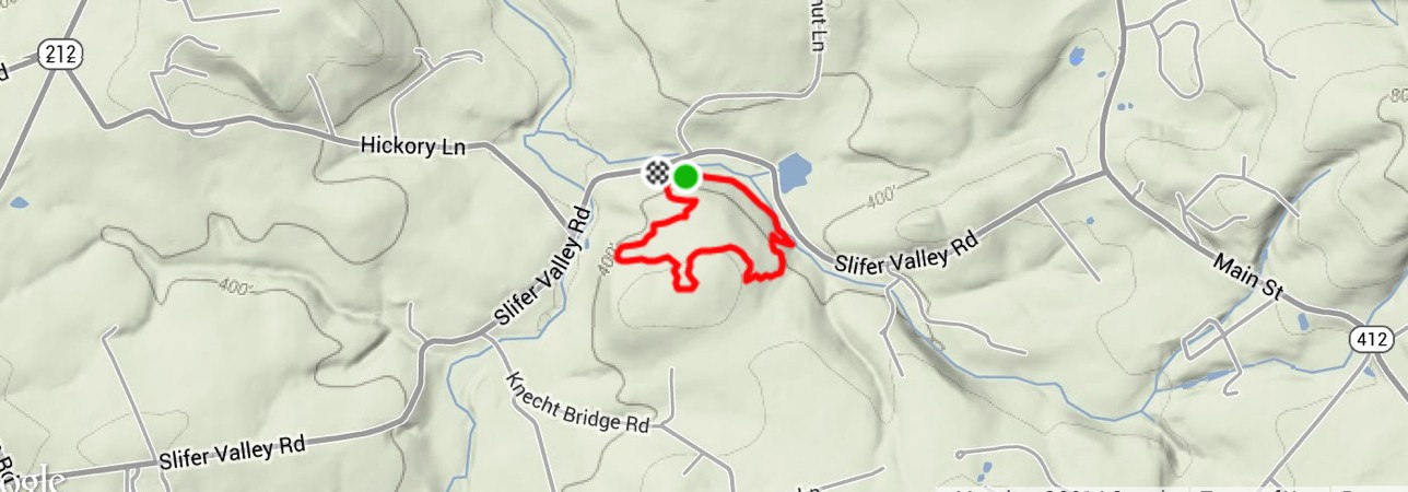
This is an overview of the trail loop which is 1.8 miles long start to finish. |

|
WPB Home Page
The trail head can be found by using the address |
|
|
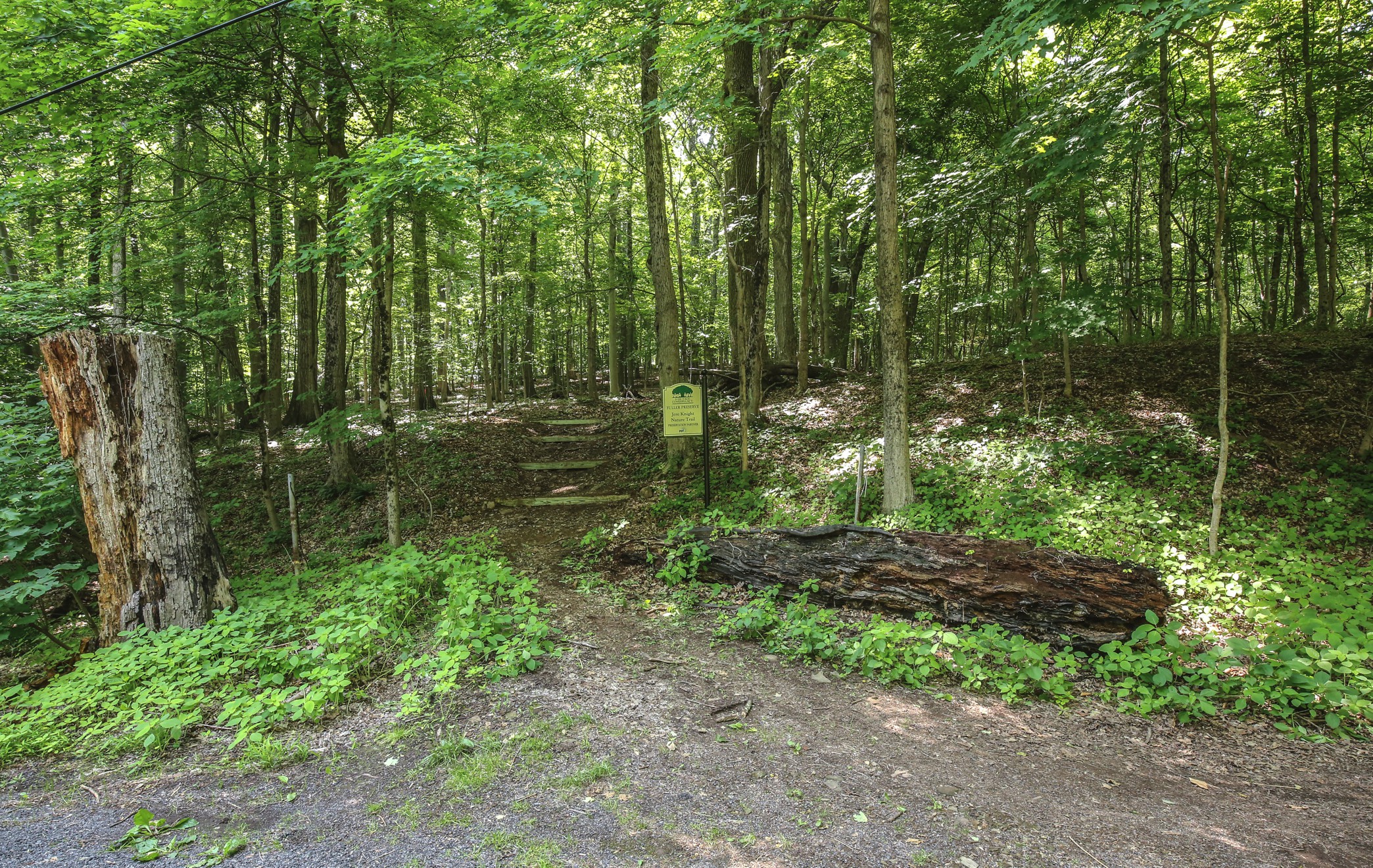
This is the start of the trail on Slifer Valley Road. The parking is just East of this on the side of Walnut Lane. Climb up the ravine thirty feet to see the Trail head off to the left. The trail is marked with orange ribbons |
|
|
|
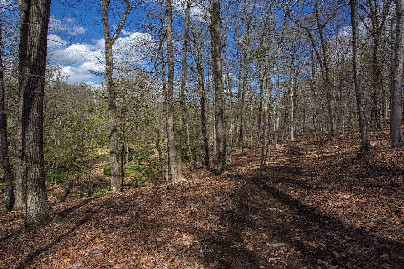 |
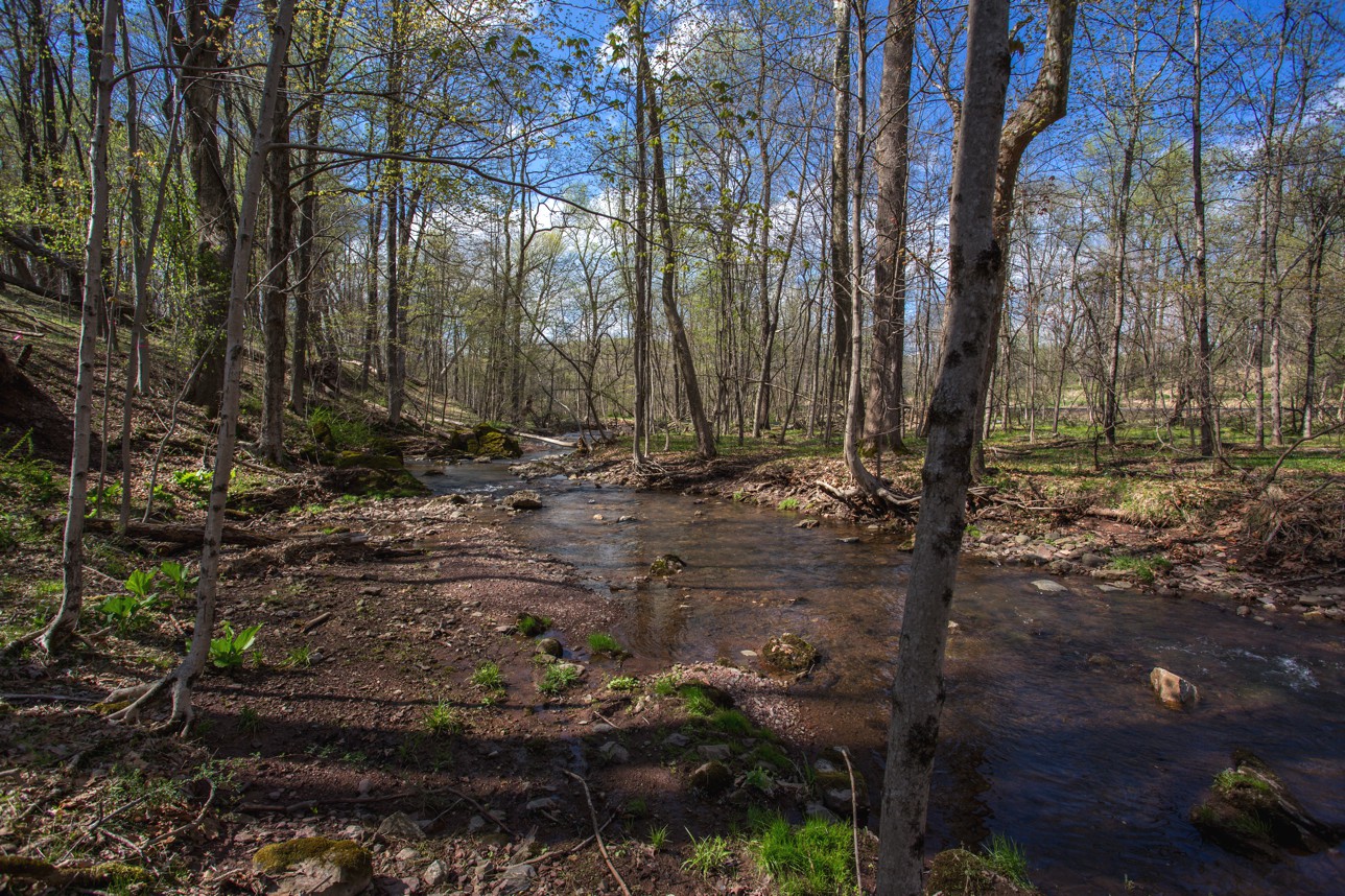
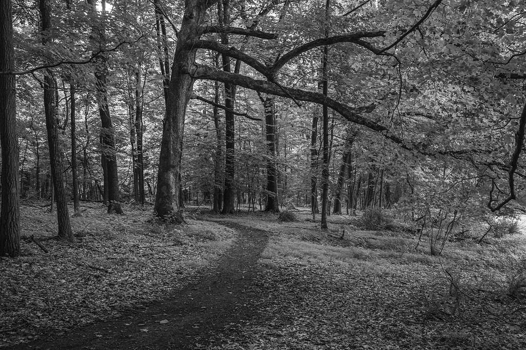
This is the start of the trail as it heads East overlooking a flowing stream.
There are orange trail markers
|
||
|
|
|
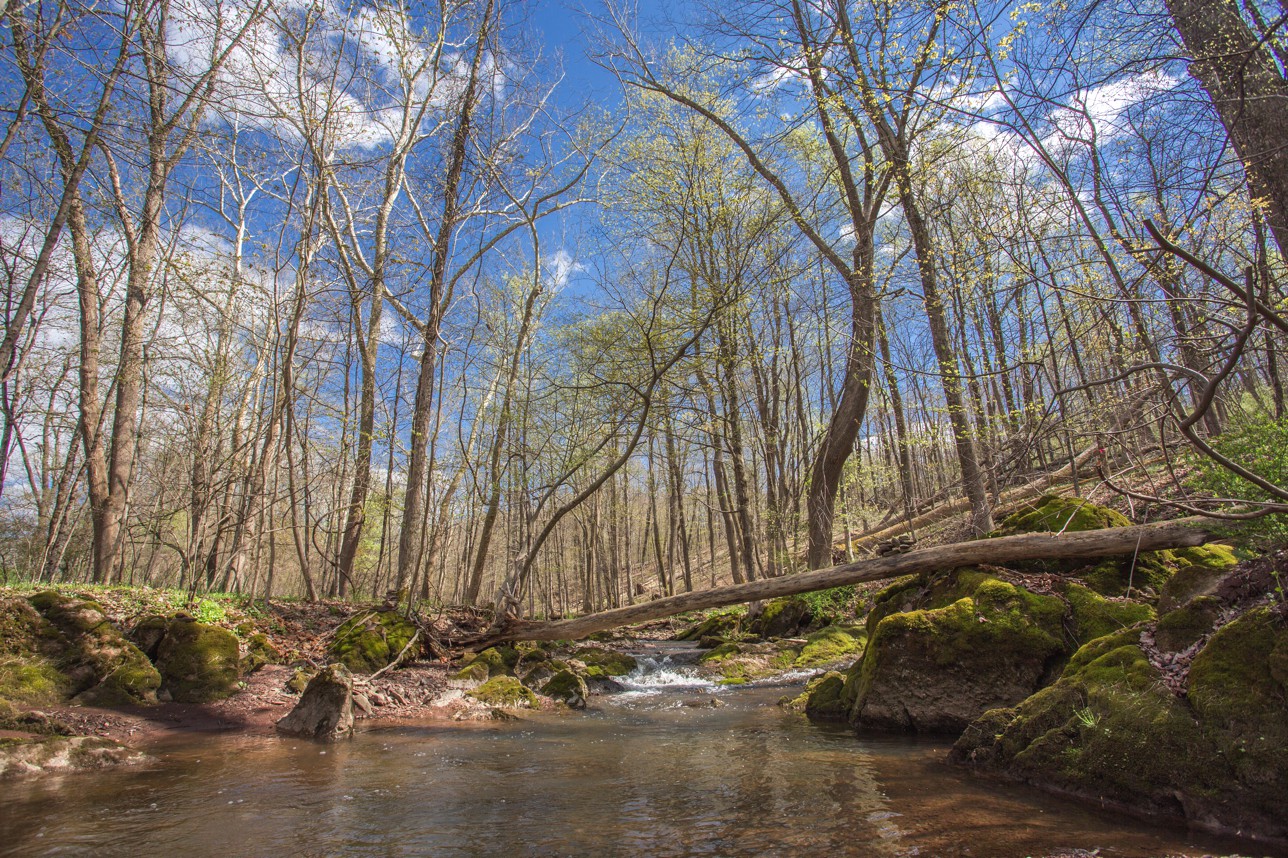 |
The trail runs under a large fallen tree and down to this stream that feeds into Cooks Creek. |
|
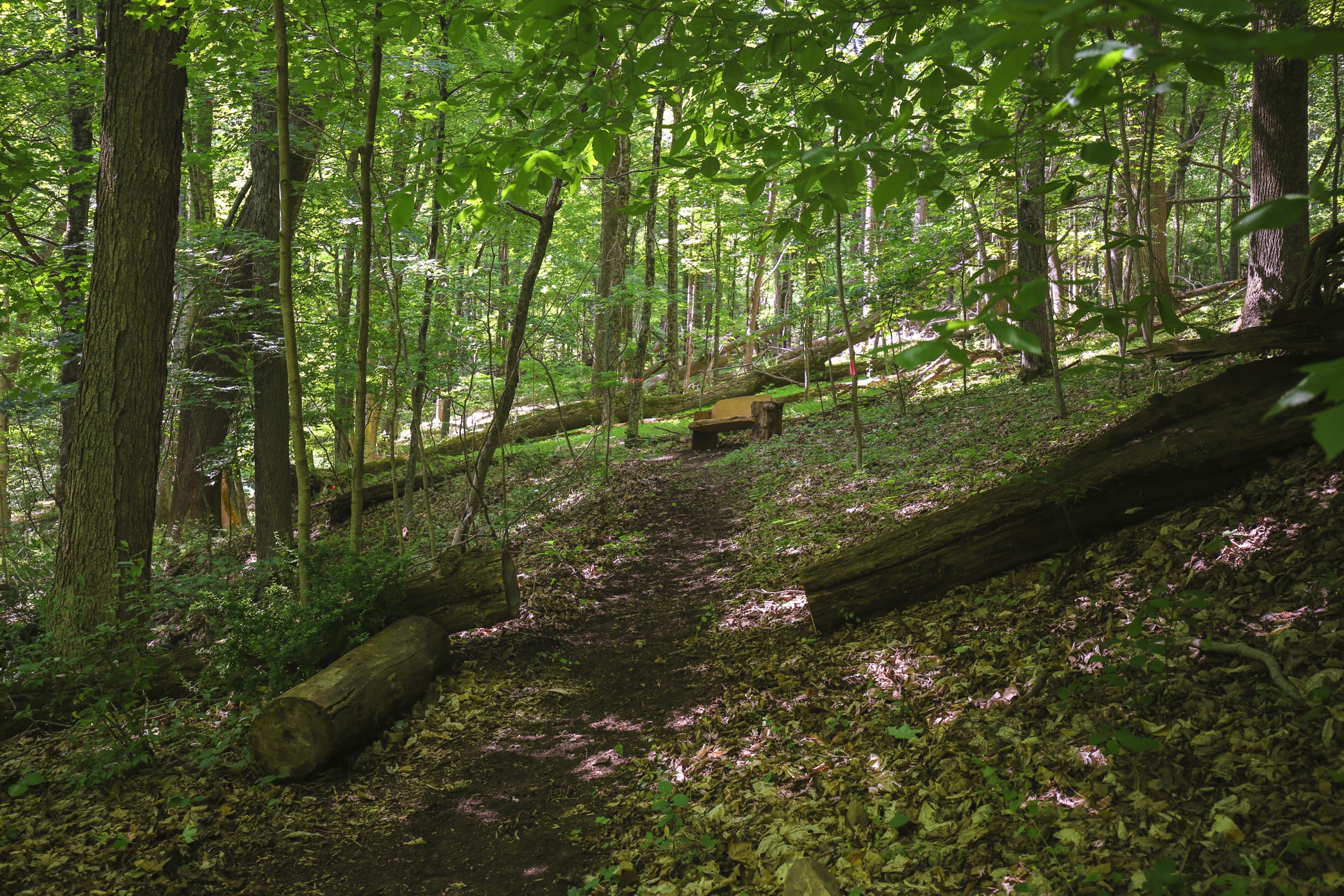
The trail continues up following the stream There is a log bench to rest up and view the stream |
 |
|
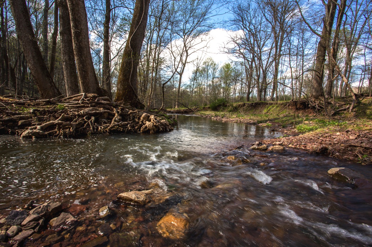
Continue East following the stream. Just below these Sycamore roots is a deeper stream hole. |
 |
 |
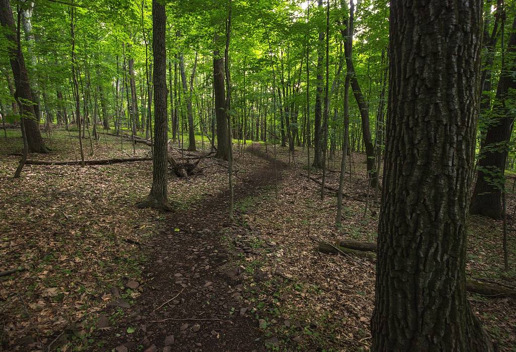
The trail winds along the stream before turning right up the hillside |
|
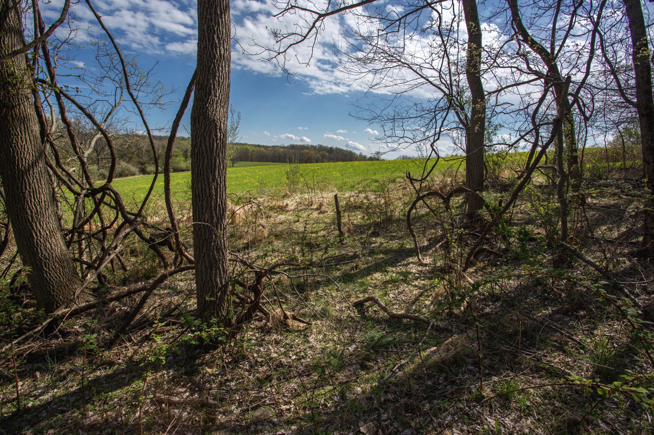
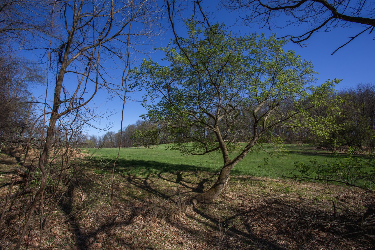
This is the upper South East corner of the trail with a view of the adjoining neighbors field.
Please don't enter neighbors field. |
 |
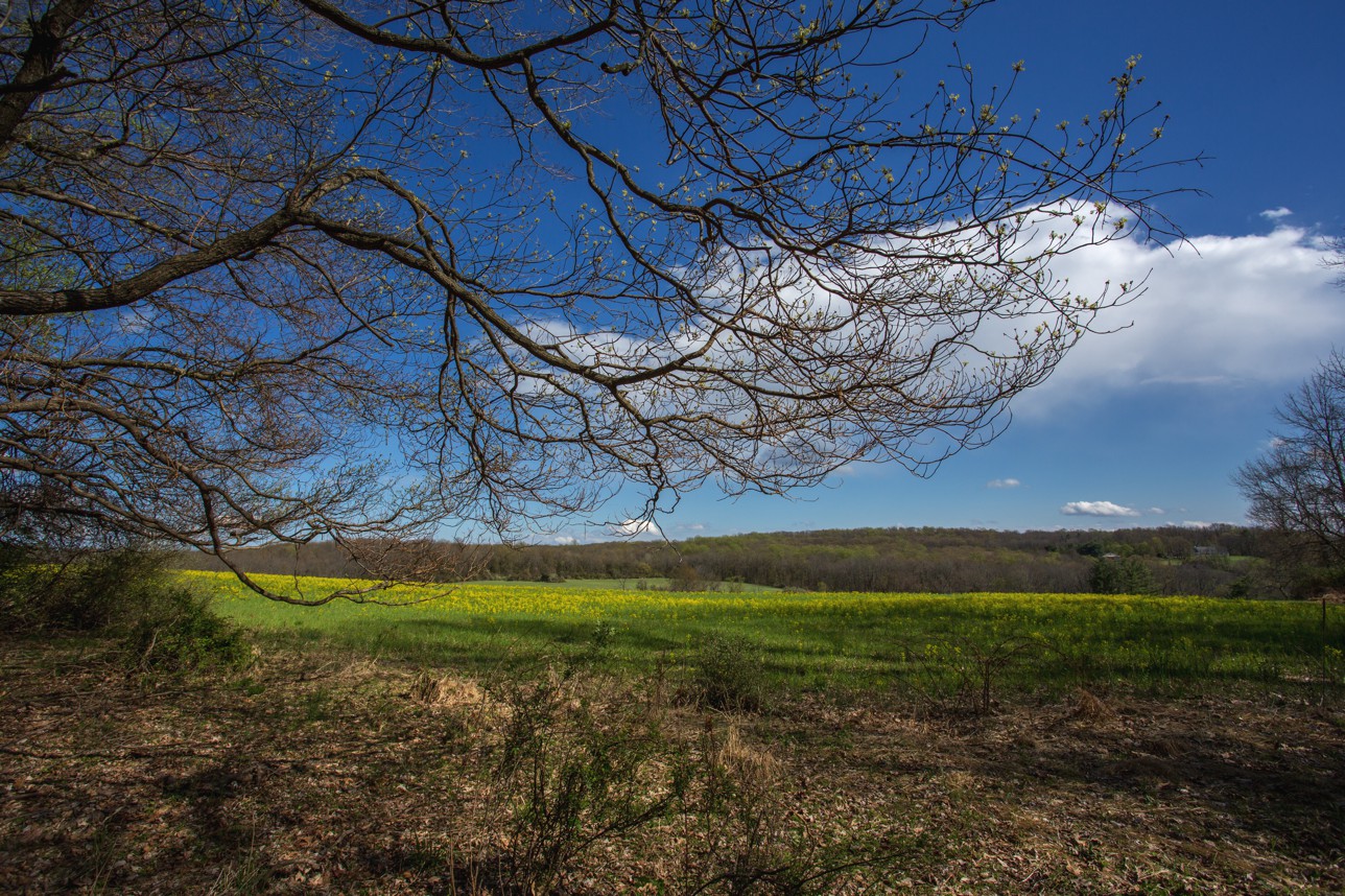 |
This is the upper West section of the same field. OK to look but not to walk |
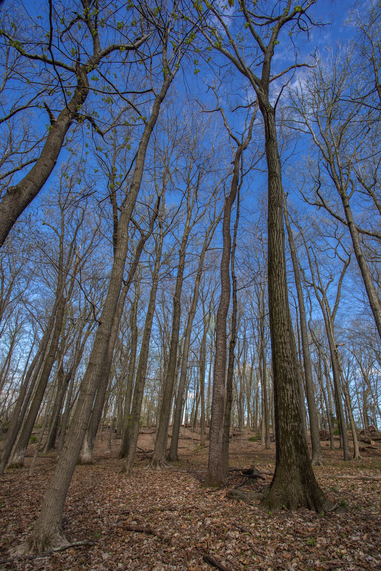
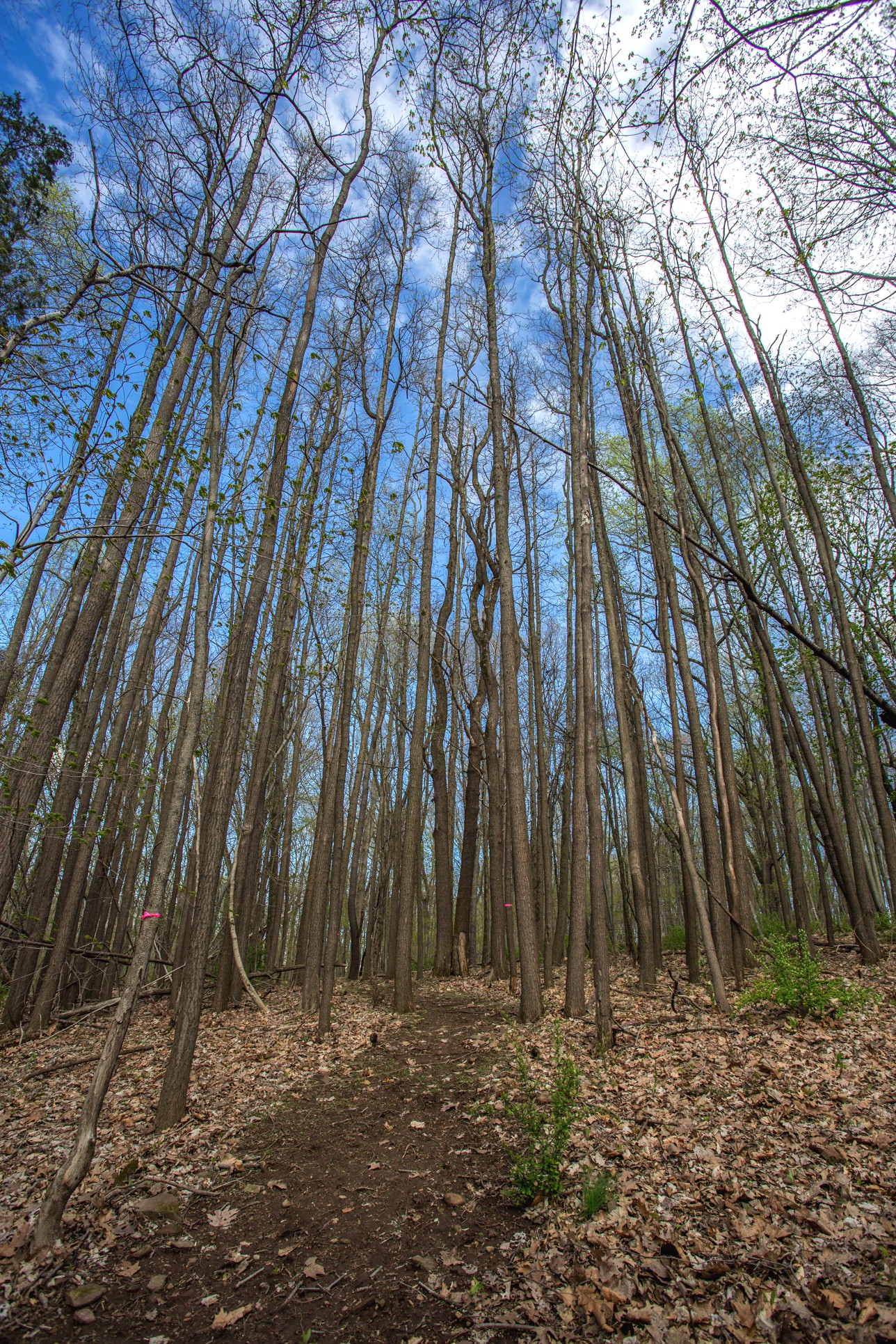
| Some of the old growth trees before the leaves return. |
 |
 |
This is the South West corner of the preserve meadow. There's a swing hanging from this large Oak tree. |
|
Trail Head moving West The trail winds through a sassafras tree grove
|
|
Please Enjoy |
|
If you have any questions please feel free to call Bill at 610 346-8484
If you enjoyed the trail photos, |